What an absolutely gorgeous day and from the top of the seven evil step sisters (bitches on a bad day) I'm reminded of why I love living in the Bay area. Just check out the views!!!
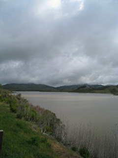
 Above: The reservoir at Alpine Dam.
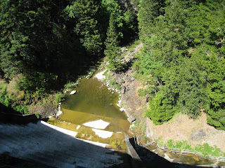
 Above and Below: The Dam.
 Below: Resting atop the dam.
 Below: The view from atop the seventh sister. DAMN!!! no more captions for the remainder, just look at the pictures and see why I love it out here.
 Hand gliding anyone?


 Where's Waldo (GG bridge)?

 Look above at the elevation graph. That blip at ~mile 16 is Camino Alto and ~mile 53 is Sausalito. Then look at the big ass thing in the middle. That's Mount Tam and to think that I used to dread the Sausalito hill (pat, pat). Alpine dam is that little dip at ~mile 31.
Moving Time (h:m:s) 5:06:19, 4:58 pace
Distance (mi ) 61.57
Moving Speed (mph) 12.1 avg., 38.3 max.
Elevation Gain (ft)+5,841 /-5,821
Heart Rate Data Avg, Low, High
Heart Rate (%max) 77, 48, 100
Heart Rate (bpm) 142, 88, 185
Temperature (°F) 63.2°F avg., 71.6°F high
Wind Speed (mph) S 5.9 avg., S 11.5 max.


